Driving across Earth is relatively simple. Your phone can receive GPS signals, calculate your location, and show exactly which road to follow.
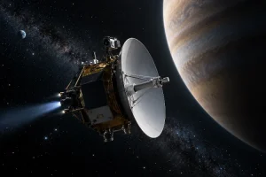
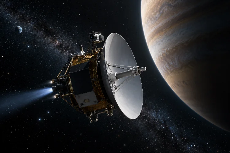
But a spacecraft traveling millions or even billions of kilometers from Earth has no highway signs, familiar landmarks, or ordinary GPS network waiting along the way.
So, how does a spacecraft navigate through space?
The answer combines physics, mathematics, radio communication, extremely accurate clocks, cameras, sensors, and carefully planned engine burns.
Mission controllers first calculate where a spacecraft should travel, then continuously estimate where it actually is and make corrections when necessary. NASA describes these three basic parts as reference trajectory design, orbit determination, and flight-path control.
Deep-space navigation becomes even more challenging because planets and spacecraft are constantly moving while gravity continuously changes their paths.
Yet modern navigation systems can guide probes across the Solar System with extraordinary precission, allowing spacecraft to orbit distant planets, fly past asteroids, and even land on worlds hundreds of millions of kilometers away.
Here is how it works.
Spacecraft Do Not Simply Fly in Straight Lines
The first thing to understand about space travel is that spacecraft rarely travel in a perfectly straight line.
Everything in the Solar System is moving under the influence of gravity. Earth orbits the Sun, the Moon orbits Earth, Mars follows its own solar orbit, and a spacecraft becomes part of this constantly moving gravitational system.
That means engineers usually think in terms of orbits and trajectories, not straight roads through empty space.
If a spacecraft is traveling from Earth to Mars, for example, engineers do not simply aim it at where Mars appears during launch. Mars will have moved significantly by the time the spacecraft arrives.
Instead, mission planners calculate a trajectory that intercepts the planet at a future location.
NASA explains that interplanetary mission designers often use carefully calculated transfer trajectories because choosing an efficient route can dramatically reduce the amount of propellant required.
It is essentially like throwing a ball toward where a moving target will be rather than where it is now-except the target may be millions of kilometers away.
Navigation Starts Before the Spacecraft Launches
A spacecraft’s navigation plan begins long before the rocket leaves Earth.
Mission designers use mathematical models to predict the positions of planets, moons, asteroids, and other objects over time. They also calculate how gravity from major bodies will influence the spacecraft.
This creates a reference trajectory, or the planned route.
NASA divides spacecraft navigation into three major tasks: designing the reference trajectory, determining the spacecraft’s actual position during flight, and making maneuvers when the vehicle needs to return toward its planned path.
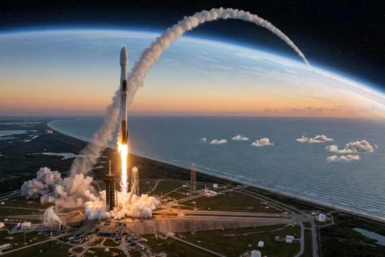
The launch itself must also occur during the correct window.
For a Mars mission, Earth and Mars need to occupy favorable positions in their respective orbits. Missing the appropriate launch period can mean waiting many months before another efficient opportunity appears.
Once the spacecraft is launched, however, the original trajectory is never assumed to be absolutely perfect.
Tiny errors can grow into huge differences across millions of kilometers. That is why navigation teams continuously update their calculations during the mission.
How Earth Tracks a Spacecraft in Deep Space
For many deep-space missions, some of the most important navigation equipment is not actually aboard the spacecraft.
It is here on Earth.
NASA operates the Deep Space Network (DSN), a global system of giant radio antennas used to communicate with and track spacecraft traveling to the Moon, planets, and beyond.
The network has major facilities positioned around the world so Earth can rotate without constantly breaking communication with distant missions.
Measuring Distance With Radio Signals
One basic technique is called ranging.
A ground station transmits a precisely timed radio signal toward the spacecraft. The spacecraft receives it and sends a response back.
Because radio waves travel at the speed of light, engineers can measure how long the round trip took and calculate the spacecraft’s distance.
NASA reports that DSN ranging can routinely determine spacecraft distance with precision on the order of about one meter under suitable tracking conditions.
That is remarkable considering that a probe might be hundreds of millions of kilometers away.
Doppler Shift Reveals How Fast the Spacecraft Is Moving
Knowing distance is only part of the problem. Navigators also need to determine velocity.
For this, they can use the Doppler effect.
You have probably experienced the same principle when an ambulance passes you. Its siren sounds higher in pitch as it approaches and lower after it moves away.
Radio signals behave similarly.
If a spacecraft is moving toward Earth, its received radio frequency shifts slightly. If it is moving away, the frequency shifts in the opposite direction.
By measuring this change extremely carefully, mission controllers can calculate the spacecraft’s velocity along the line between the spacecraft and the tracking station.
NASA’s Deep Space Network documentation states that Doppler measurements can routinely determine this line-of-sight velocity to fractions of a millimeter per second.
Combining range and Doppler measurements over time allows engineers to calculate an increasingly accurate spacecraft trajectory.
Star Trackers Tell Spacecraft Which Way They Are Pointing
Knowing where a spacecraft is does not automatically tell it which direction it is facing.
That distinction is critical.
A spacecraft may need to point its antenna toward Earth, solar panels toward the Sun, cameras toward a planet, or engines in exactly the right direction before performing a maneuver.
This orientation is called attitude.
Many spacecraft use devices known as star trackers to determine attitude.
A star tracker photographs patterns of stars and compares them with a stored star catalog. Because the positions of distant stars are highly predictable, the spacecraft can calculate its orientation from the pattern.
NASA describes spacecraft systems that use star images and known catalogs to determine attitude during flight.
Stars effectively become natural navigation markers.
Unlike landmarks on Earth, they can remain useful across enormous distances in space.
Gyroscopes and Sun Sensors Provide Extra Information
Star trackers are usually combined with other sensors.
Gyroscopes measure spacecraft rotation, while accelerometers can measure changes in motion. Together, they may be packaged into an inertial measurement unit, or IMU.
Sun sensors can also tell a spacecraft where the Sun is located.
ESA guidance and control systems commonly combine equipment such as star trackers, inertial measurement units, Sun sensors, cameras, reaction wheels, and thrusters.
Using several independent sensors makes navigaton more reliable because the spacecraft does not have to depend completely on a single instrument.
Reaction Wheels and Thrusters Change the Spacecraft’s Direction
Once a spacecraft knows its orientation, it needs a way to control it.
One common tool is the reaction wheel.
A reaction wheel is an electrically powered spinning wheel installed inside the spacecraft. When the wheel accelerates in one direction, conservation of angular momentum causes the spacecraft body to rotate in the opposite direction.
This allows very precise pointing without continuously consuming rocket fuel.
NASA notes that spacecraft commonly use several reaction wheels arranged along different axes to provide three-axis attitude control.
Thrusters are used when greater force is required or when accumulated momentum needs to be removed from reaction wheels.
Small thrusters may rotate the spacecraft, while larger propulsion systems can alter its actual trajectory.
The two jobs are closely related but should be considered seperately: attitude control changes where the spacecraft points, while trajectory maneuvers change where it is going.
Course Corrections Keep Missions on Target
Even a nearly perfect launch does not place a spacecraft on an absolutely perfect trajectory.
A tiny launch error can become enormous after months of travel.
Unexpected influences also matter. Solar radiation pressure, small propulsion uncertainties, imperfect knowledge of gravitational fields, or tiny navigation errors can gradually shift the trajectory.
Mission teams therefore perform trajectory correction maneuvers, often called TCMs.
During a correction, engineers calculate how much the spacecraft’s velocity needs to change and in which direction. The spacecraft then turns to the proper orientation and fires its thrusters for a carefully calculated amount of time.
The required change in velocity is usually described as delta-v.
Sometimes a relatively small correction performed early can prevent the need for a much larger maneuver later.
This is similar to walking toward a destination several kilometers away. Being only slightly off course at the beginning may eventually put you hundreds of meters from your intended destination.
Correcting early is usually more efficient.
Gravity Can Become Part of the Navigation Plan
Spacecraft navigation is not always about fighting gravity.
Sometimes engineers deliberately use it.
A gravity assist, sometimes called a gravitational slingshot, sends a spacecraft close to a moving planet so the encounter changes the spacecraft’s trajectory and its velocity relative to the Sun.
This can save enormous amounts of propellant.
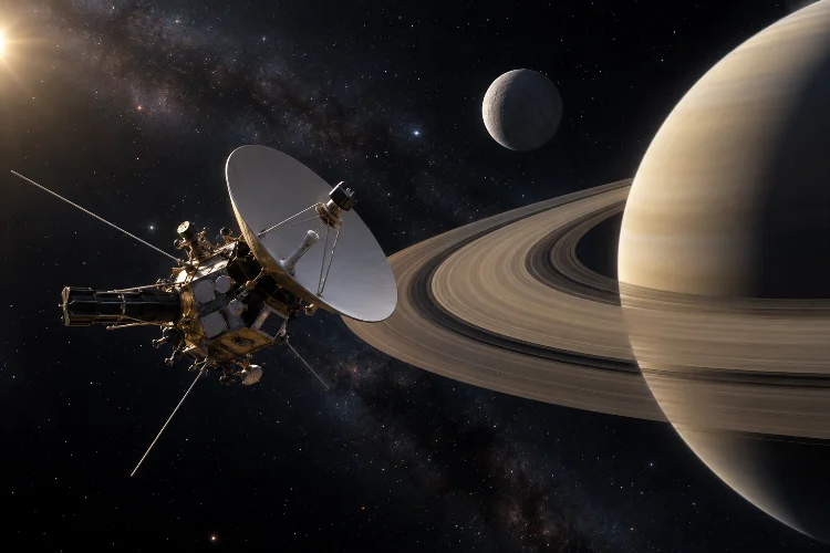
Voyager 2 famously used gravity assists involving Jupiter, Saturn, Uranus, and Neptune during its journey through the outer Solar System. Other missions, including Galileo and Cassini, also used planetary flybys to reach their destinations more efficiently.
A gravity assist must be calculated with extraordinary accuracy.
Arriving at a planet on the wrong side or at the wrong angle could send the spacecraft toward an entirely different trajectory.
In this sense, planets become giant natural navigation tools.
Engineers can borrow a tiny amount of a planet’s orbital momentum to alter the spacecraft’s motion without carrying the equivalent amount of rocket fuel.
Optical Navigation Uses Cameras as Spacecraft Eyes
Radio tracking from Earth becomes especially valuable in deep space, but cameras can provide another source of navigation data.
This is called optical navigation, or opnav.
A spacecraft can photograph its destination against background stars. Engineers analyze where the planet, moon, comet, or asteroid appears in the image and compare that observation with predicted positions.
NASA explains that optical navigation images can help refine knowledge of a spacecraft’s trajectory as it approaches a target.
For missions approaching asteroids, cameras may even identify surface landmarks.
NASA’s GIANT optical-navigation software, for example, can analyze images of objects and landmarks to estimate information such as distance and help produce three-dimensional maps for navigation and landing operations.
Optical navigation becomes especially relevent when a spacecraft must precisely approach, orbit, sample, or land on a relatively small object.
Why Deep-Space Spacecraft Cannot Depend on Ordinary GPS
GPS works extremely well near Earth because a large constellation of satellites continuously transmits precise timing and orbital information.
Deep-space spacecraft cannot expect the same coverage.
Once a vehicle travels far from Earth, ordinary GPS satellites are not positioned to provide the global navigation service we use on the ground.
Traditional deep-space missions therefore depend heavily on radio tracking from Earth and ground-based atomic clocks.
The disadvantage is communication delay.
A radio signal takes only a little over one second to travel between Earth and the Moon, but reaching Mars can take several minutes each way depending on the planets’ positions. For spacecraft in the outer Solar System, delays become much longer.
A spacecraft therefore cannot always wait for immediate instructions.
This is pushing navigation technology toward greater autonomy.
Future Spacecraft Will Navigate More Independently
Modern spacecraft already perform many functions automatically, but future missions may need much greater independence.
NASA is developing technologies that combine optical observations, onboard algorithms, precision clocks, and autonomous guidance systems so spacecraft can calculate more of their own position and trajectory.
NASA’s AstroNav project, currently being developed for a future lunar technology demonstration, is designed to combine onboard sensor observations with navigation algorithms so a spacecraft can estimate its position and velocity and plan maneuvers without constantly depending on Earth.
NASA’s Starling mission has also demonstrated GPS-independent navigation technology using observations of objects in space for self-orbit determination.
Precise clocks could help as well.
NASA’s Deep Space Atomic Clock technology demonstration tested an ultra-stable spacecraft-sized atomic clock intended to support more autonomous deep-space navigation.
The farther humans and robotic explorers travel from Earth, the more important this independence will become.
So, how does a spacecraft navigate through space? It does not follow a road or rely on one magical navigation device.
Instead, successful spaceflight combines carefully designed trajectories, radio ranging, Doppler measurements, star trackers, inertial sensors, optical cameras, onboard computers, reaction wheels, thrusters, and precise timing.
Mission controllers continuously compare the spacecraft’s actual path with its planned trajectory and perform corrections when needed. Gravity itself can even become part of the route through carefully designed planetary flybys.
As missions travel deeper into the Solar System, autonomous navigation will become increasingly important because communication delays make constant control from Earth impractical.
Next time you watch a spacecraft reach another planet, remember that simply arriving at the right place-at the right second-is already one of the mission’s greatest engineering achievements.